|
|
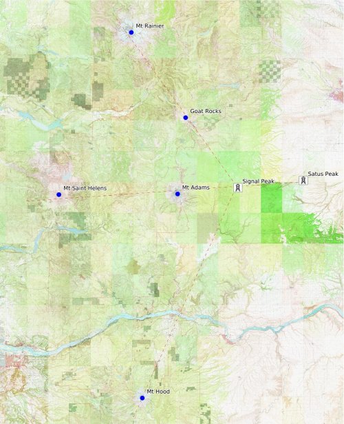
but as stunning as these views were, Signal peak got us even closer. As you can see from the map, Satus, Signal, Adams and St Helens are on a nearly straight east-west line. Our journey started on Jun 14 with the two lookout structures on Yakama Nation land. Satus and Signal peaks are both accessible by vehicle, but require special permission from the Yakama council. The two lookouts are in active use during the summer and we able to gain access by volunteering to help open the lookouts for the season. See my Stewardship and Service page for more details on the work we did. 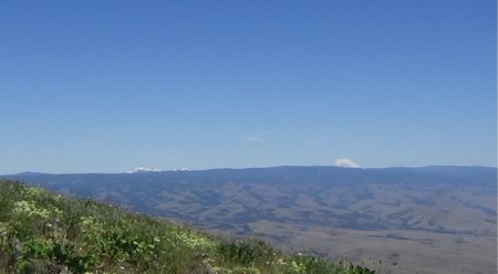
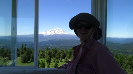
star of the show. But we could also see Mt Rainier and Goat rocks to the NW. 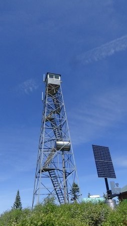
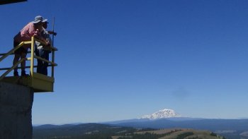
One of the big highlights of the day, being with the Yakama fire management crew is that we were allowed to ascend the Signal Peak tower. Usually towers like this are kept locked. I assume for safety and liability reasons. Our Yakama escorts unlocked the tower for us and we went up to the top in groups of 3 - 4. The cab at the top only had room for that many at a time. The tower seemed sturdy and safe enough, but I was rather glad we did not test its limits! 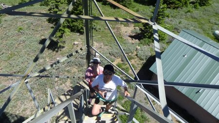
Satus, Signal and Mt Adams are on a nearly straight east/west line. The interesting change of perspective came when we realized that Signal, Goat Rocks and Mt Rainier are also on a nearly straight line. 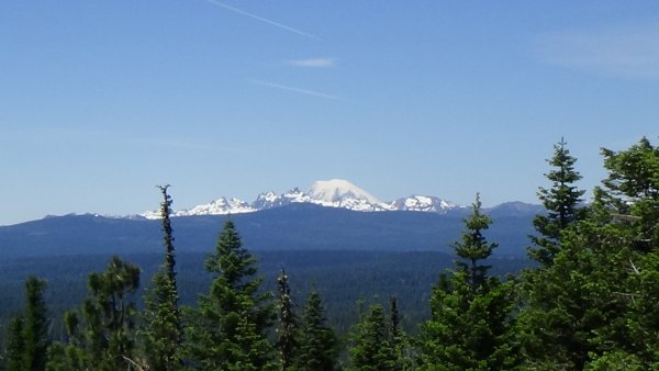 Rainier behind Goat Rocks
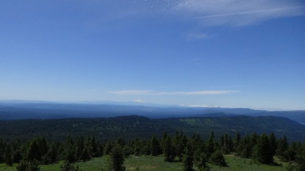 Mt Hood
|
|